

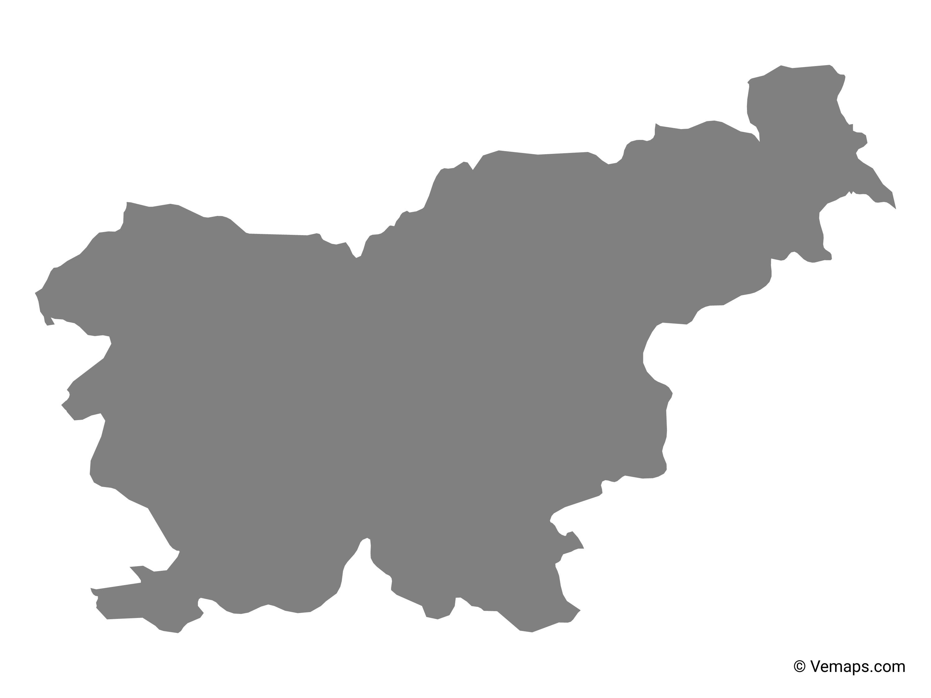
You can find on this page the blank map of Slovenia to print and to download in PDF. The contours map of Slovenia presents the international boundary of Slovenia in Southern Europe. You can use the vector map of Slovenia for personal or educational use.

The blank map of Slovenia shows the country Slovenia empty. This blank map of Slovenia will allow you to use the map for personal activities or educational with children for example (drawing). The empty map of Slovenia is downloadable in PDF, printable and free.
The Blank Map of Slovenia represents an outline map of Slovenia, which is a south-eastern European country. This map can be downloaded, printed, and used for map-pointing work, like coloring or testing. Slovenia is a country situated in Central Europe and is famous for its mountainous regions, lakes, and ski resorts. The population of the country is 2,064,000 people as census records of 2016.
The language spoken is Slovenian and Serbo-Croatian, and the major religion followed is Christianity. On the coast the country has a Mediterranean climate and the weather is mainly influenced by the Adriatic Sea and the Alps. The capital city of Slovenia is Ljubljana. It has twentieth century architecture and the triple bridge built across the River Ljubljanica, which is an iconic beauty of the city. The country is located in the Eastern and northern hemispheres of the earth. Slovenia is bordered by four countries, like Croatia in the southeast, Italy in the west, Hungary in the northeast, and Austria in the north. In the Southwest and along the Adriatic Sea, Slovenia shares a small coastline border as you can see in the Blank Map of Slovenia.
Slovenia Blank Map reveals about the overall shape of the country. This blank map is often used for taking tests in geography, other class room or educational purposes. The blank outline map of Slovenia permits the user to include whatever information that is needed. In order to understand the geography of Slovenia, the user needs to understand the physical locations of the districts or states and cities, which can be outlined in the map. Such a map is considered as a great way to gain in-depth knowledge about the country.

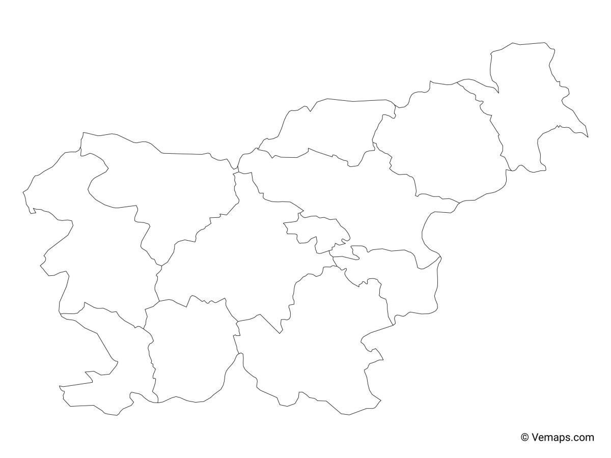
The Slovenia map outline shows all the contours and international boundary of Slovenia. This outline map of Slovenia will allow you to easily learn about neighboring countries of Slovenia in Southern Europe. The Slovenia contours map is downloadable in PDF, printable and free.
As a practice and learning aid for school children, an outlines map of Slovenia is used. Besides, such a map will enable the user to have a quick view of the geographical features of Slovenia. The user can easily access a printable map of Slovenia from the web, which can be readily used for any purpose, like completion of school assignments or exploring the country.
The best source of visualizing the diverse nature of Slovenia is to see it through the outlines map of Slovenia. In this a transparent map; it is possible for the user to view all the geographical objects of Slovenia, whether it has mountains or plain land in its topography. The user is recommended to have a transparent map of Slovenia if he or she is working on a research project.
Having a well-designed outlines map of Slovenia practice worksheet is a good option, which will enable him or her to test the knowledge about the geography of the country. Such a practice worksheet is available on the web that can be downloaded and printed. Any teacher can also get a number of prints of this worksheet and use them in a classroom.
The vector map of Slovenia shows entire surface of Slovenia empty. This vector map of Slovenia will allow you to make changes or add details to the map of Slovenia in Southern Europe, for personal or educational purposes. The vectorial map of Slovenia is downloadable in PDF, printable and free.
With the help of the Slovenia map vector, it is easy to understand the location of the country in the geographical division of the world. Officially known as the Republic of Slovenia, it is found in central Europe where it shares its border with Austria from the north, Italy from the west, Croatia from the southeast, Hungary from the northeast, and by the Adriatic Sea from the southwest. Slovenia has a land area of 20,271 square kilometers of land most of which are mountain and forest territory.
Slovenia is famous in the world for its stunning and beautiful caves that attract thousands of tourists from around the world. It is estimated that there are more than 10,000 caves and many are yet to be discovered (see Slovenia map vector). Some of the famous caves of the country are Postojna which is 20 kilometers in length and Krizna Jama Cave that is listed as a World Heritage site. The Krizna Jama Cave is among Europe underground natural wonders that are famous for their exquisite beauty and formation.
Slovenia map vector is utilized by people for various purposes. It provided detailed information that can be easily understood and can be used to learn details like the physical, topological, climatic, geographical features, political division of the country, famous historical and natural sites visited by tourists, major metropolitan areas connecting different other cities and towns, etc.